New FireSat satellites promise faster wildfire detection over California and beyond
A trio of satellites set to launch early Tuesday will give wildland firefighters more time to respond and scientists more information about fire-prone regions across the globe.
Read more 14 propositions that could remake California taxes, housing, healthcare and elections
The launch from Vandenberg Space Force Base is the first phase in a constellation called FireSat that will eventually cover the globe with 50 satellites collecting high-resolution imagery of fires and conditions on the ground every 20 minutes.
Earth Fire Alliance, the nonprofit group behind FireSat, got the project off the ground with $69 million in grants from the Bezos Earth Fund, Google and the Gordon and Betty Moore Foundation.
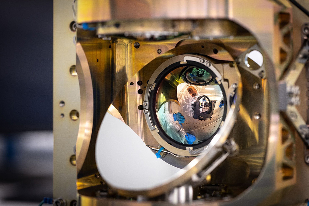
San José-based Muon Space built the satellites. Muon and the California Department of Forestry and Fire Protection are both FireSat partners.
The satellites use advanced thermal sensors to detect heat and can pick up signals from fires as small as a beach bonfire, as well as cooler fires that have been smoldering for days, according to Michael Falkowski, lead scientist at Earth Fire Alliance. That information will help fire officials, including the Los Angeles and Los Angeles County fire departments, understand whether blazes are growing, where they are headed and how much soot and smoke they are generating.
“If we can differentiate between a smoldering fire and a flaming combustion fire, it really has a big impact on how we can understand the air quality emissions coming off the fire,” Falkowski said.
Fires that burn at low temperature produce more harmful gases than hot fires. Think about a campfire. When it’s burning hot with bright flames, there is relatively little smoke. When it’s smoldering, it produces lots of thick, white or gray smoke.
Wildfires work the same way.
A hot, fast-burning fire has enough oxygen and heat to burn with more complete combustion, producing less smoke for every pound of wood burned.
Earth Fire Alliance will provide data from these first three satellites in the next few months to Cal Fire and fire agencies in Oregon, Texas, Australia and Portugal. Cal Fire will share it with Southern California fire agencies.
The network will also turn its sensors on in the Amazon Basin for the Brazilian nonprofit Amazon Environmental Research Institute.
Cal Fire should begin receiving data from the scientists later this year, according to Falkowski, who joined Earth Fire Alliance last year from NASA, where he was an earth science program manager running the agency’s fire science program.
Falkowski said the new FireSat satellites are a big improvement over existing ones because they will be able to see smaller fires with better resolution and distinguish low-intensity “cool” fires from high-intensity hot ones.
Read more The Founding Fathers pledged their fortunes to the cause of liberty. Trump enriches himself
“The satellites are really designed to measure fire across the entire temperature profile, so we can see cool fires all the way up to really hot fires,” he said.
That kind of granular information is important for emergency responders in the field and planners who make decisions about calling for extra help or ordering evacuations.
The National Oceanic and Atmospheric Administration operates three satellites that can detect a fire somewhere inside a square 1,230 feet across.
In contrast, instruments on the FireSat satellites will be able to detect small brush and roadside fires 16 feet across.
Cal Fire officials have long embraced new technology to get ahead of wildfires in recent years, testing autonomous firefighting helicopters and partnering with UC San Diego to use artificial intelligence to filter images from a network of more than 1,200 cameras on lookout towers and mountain tops. The Alert California program is able to spot smoke in a video and sends automated messages to one of 21 agency command centers across California.
In 2025, Alert California sent out automated warnings before authorities even received 911 calls from the public 51% of the time, according to Phillip SeLegue, staff chief of Cal Fire’s intelligence program.
FireSat will help incident commanders get better information more quickly, and, unlike fire-spotting aircraft, the satellites can linger over a fire for days or weeks and aren’t hampered by high winds or smoke.
Travis Medema, chief deputy for the Oregon State Fire Marshall, said his office will use FireSat to plan escape routes and monitor fires. “If we can fight these when they are small, we feel we will be more efficient and can protect Oregonians,” he said.
One expert noted that turning satellite data into information useful to firefighters and forestry managers will take some time. The FireSat data will “be amazing for fire nerds, but how and whether it helps individual fires remains to be seen,” said Joe H. Scott, founder of Pyrologix, a wildfire analysis firm based in Missoula, Mont. “Right now, we are not basing decisions on where satellites tell us a fire is,” Scott said.
Pyrologix develops wildfire risk management models for federal agencies, local governments and utilities. Scott said FireSat’s high-resolution data will help him build better prediction models that take into account weather, drought, plants and the history of fires in a region.
Read more Humans, machines or nothing: Case will decide future of California court transcripts